Southerly portion of Vancouver Island
- AM1594-: MAP 128
- Item
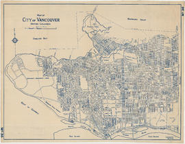
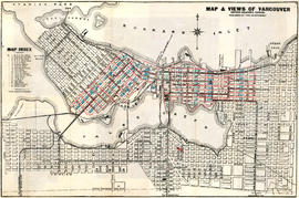
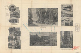
- 1913
Part of City of Vancouver Archives technical and cartographic drawing collection
Item is a geographic and economic map of the southern half of Vancouver Island. The map shows parcels of land, including Crown land granted, timber leases and licences, Indian reserves, government reserves, and various political boundaries boundaries.