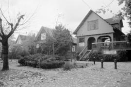
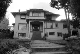
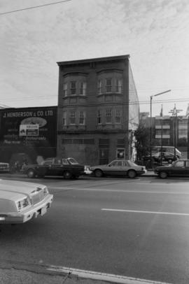
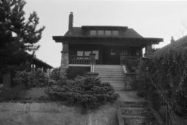
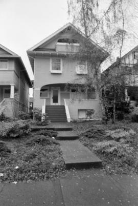
2325, 2335, 2345-2347 West 7th Avenue
- COV-S639-1-F46-: CVA 790-1409
- Item
- [1985?]
Part of City of Vancouver fonds
2325, 2335, 2345-2347 West 7th Avenue
Part of City of Vancouver fonds

Part of City of Vancouver fonds

Part of City of Vancouver fonds

Part of City of Vancouver fonds

Part of City of Vancouver fonds

Part of City of Vancouver fonds
Part of City of Vancouver fonds
Part of City of Vancouver fonds

Part of City of Vancouver fonds

Part of City of Vancouver fonds

Part of City of Vancouver fonds
Part of City of Vancouver fonds
Part of City of Vancouver fonds
Part of City of Vancouver fonds

Part of City of Vancouver fonds

Part of City of Vancouver fonds

Part of City of Vancouver fonds
Part of City of Vancouver fonds

Part of City of Vancouver fonds

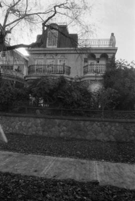
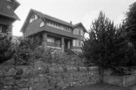
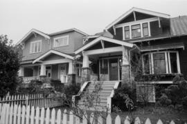
1876, 1882, 1888 West 3rd Avenue
Part of City of Vancouver fonds

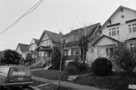
2024, 2032, 2038, 2042, 2048 West 7th Avenue
Part of City of Vancouver fonds
Part of City of Vancouver fonds

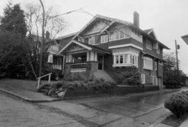
2085, 2077-2075, 2059 West 6th Avenue
Part of City of Vancouver fonds

Part of City of Vancouver fonds
Part of City of Vancouver fonds
Part of City of Vancouver fonds
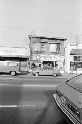
Item is a photograph in which a sign reading "Good Morning" is visible.
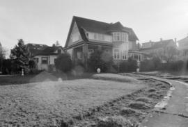
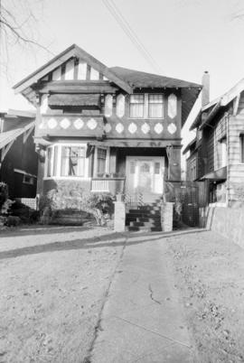
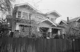
1836, 1832, 1822 West 2nd Avenue
Part of City of Vancouver fonds
Part of City of Vancouver fonds

Part of City of Vancouver fonds

Part of City of Vancouver fonds

Part of City of Vancouver fonds

Part of City of Vancouver fonds
Part of City of Vancouver fonds

Part of City of Vancouver fonds

2914-2912 West 3rd Avenue (cluster)
Part of City of Vancouver fonds

Part of City of Vancouver fonds

Part of City of Vancouver fonds

Part of City of Vancouver fonds

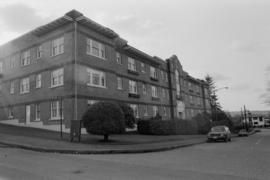
1902, 1908, 1912 Blenheim Street
Part of City of Vancouver fonds

Part of City of Vancouver fonds
Part of City of Vancouver fonds

Part of City of Vancouver fonds
Part of City of Vancouver fonds
Part of City of Vancouver fonds
Part of City of Vancouver fonds

Part of City of Vancouver fonds

Part of City of Vancouver fonds
Item is a map showing ownership of property included in the acquisition program. Further annotations show the status of property acquisition and demolition. Base map is bounded by Arbutus Street, Hemlock Street, York Avenue, and Broadway, and shows streets, legal addresses, lot sizes, schools, parks and railway lines.
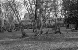
Tatlow Park, interior, looking east - Vine Maples
Part of City of Vancouver fonds
Part of City of Vancouver fonds
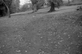
Almond Park path on bank (not well articulated)
Part of City of Vancouver fonds