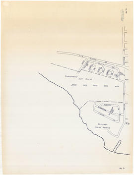
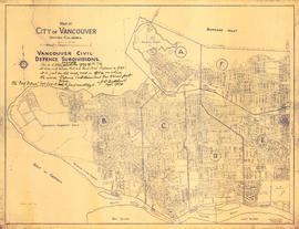
Sheet 3 : Slocan Street to Boundary Road and Seventh Avenue to Charles Street
- AM1594-MAP 682-: MAP 682.05
- Item
- [ca. 1925], with revisions to ca. 1945
Part of City of Vancouver Archives technical and cartographic drawing collection
Item is a section showing the area from Slocan Street to Boundary Road and Seventh Avenue to Charles Street. Includes streets and roads, blocks, lots, legal descriptions, parks and schools.
Vancouver (B.C.). Office of the City Engineer


![City of Vancouver, British Columbia [index map]](/uploads/r/null/d/4/d4fc7ef393680c6515927aa960de863e6fd9e846c3fac12499691549673dc4b7/eed36b0b-2e63-48f2-a7ee-02ed3de937b9-MAP682_142.jpg)


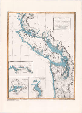

![Americae sive novi orbis, no va descriptio : [the new world, commonly called America]](/uploads/r/null/7/f/9/7f9d7722fd935fbaf645638c66c9dc9500f9c329d254d3c44493af54d80e6483/b93f8b7c-cc81-45d5-b814-14796fa7011e-MAP667_142.jpg)


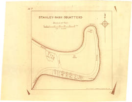


![Stanley Park [Golden Jubilee]](/uploads/r/null/2/4/24135e2d726e60ffbc74f0d81c3a53d51a38fe9ea1e86ecda92708249adac23b/1b46df5d-6871-41b2-b1dd-91a0c1d5ad02-MAP624_142.jpg)


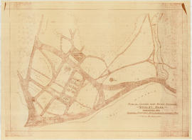
![Map of Stanley Park [site plan]](/uploads/r/null/1/c/1c9f6dc06e0884db9e77fbf60ada5f034a83d9de980993fddeb5e2475c9e2b97/52d1c868-f7bb-48bd-a2e8-0fa3444cfeec-MAP62_142.jpg)


![Municipality of North Vancouver [Burrard Inlet]](/uploads/r/null/6/d/6d0d9a4b75b38672c56aa89a5984fe2d0e6d66be85f6f375cbe8e2fd7ac94a98/577914e1-3de2-478b-a629-5f391731387a-MAP588_142.jpg)