Sheet L : Trafalgar Street to Granville Street and Nanton Avenue to Thirty-eighth Avenue
- AM1594-MAP 682-: MAP 682.36
- Item
- [ca. 1925]. with revisions to Feb. 1, 1952
Part of City of Vancouver Archives technical and cartographic drawing collection
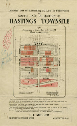
Item is a section showing the area from Granville Street to South Cambie Street and Twenty-seventh Avenue to Thirty-eighth Avenue. Includes streets, roads, blocks, lots, legal descriptions, parks, golf courses and schools. Annotations in pencil.
Vancouver (B.C.). Office of the City Engineer