Showing 159 results

Archival description
City of Vancouver Archives technical and cartographic drawing collection Vancouver (B.C.) Streets With digital objects
Print preview View:
Sheet S.V. 11 : Fleming Street to Killarney Street and Thirty-seventh Avenue to Forty-eighth Avenue
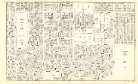
Sheet S.V. 12 : Fleming Street to Raleigh Street and Forty-eighth Avenue to Newport Avenue
Vest pocket map of Vancouver : map B
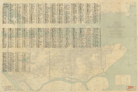
Street index of Vancouver and Lower Mainland
Visitors map of Vancouver
City of Vancouver : east half
Vancouver, British Columbia : south-westerly portion, formerly Point Grey : major street plan
Indexed map of Greater Vancouver showing distances from Bekins building
Dial map of Greater Vancouver and suburbs
Results 151 to 159 of 159