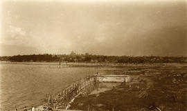
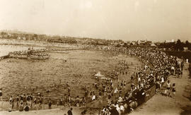
Kitsilano Beach pool, east end with crowds
- AM1376-: CVA 72-20
- Item
- [between 1950 and 1952]
Item is a photograph of families using the outdoor swimming pool at Kitsilano Beach. The photograph is taken from near the southwest end of the pool, looking east. The showboat stage and a pier into the pool can be seen, and beyond the pool Kitsilano Beach and the bathhouse is visible, with Hotel Vancouver, the Vancouver Block clock tower, and the Burrard Street Bridge visible in the far background.


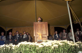
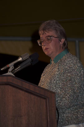
![[David Leary] speaking at the lighting of the Peace Flame Monument ceremony](/uploads/r/null/b/1/5/b15b3592505a29c5043303afda3b235bfbe1bc2e402396a43432b830f694ee9a/f2a5e765-d2f8-478e-9f6c-8b7ce2a54cee-CVA775-197_142.jpg)
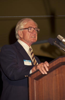
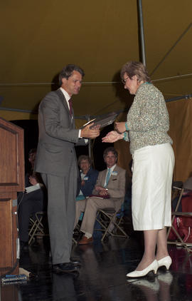
![[David Leary] speaking at the lighting of the Peace Flame Monument ceremony](/uploads/r/null/8/a/4/8a491886bcde04ff29f7857f5f94f799d7e1c23986e723971f8ed3fd94e5a8ec/a63fbe6b-6c23-4ba0-95da-f8ede709e698-CVA775-198_142.jpg)


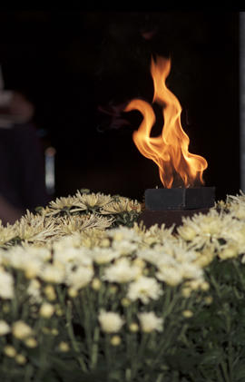
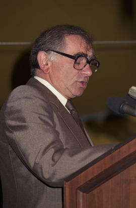

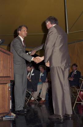

![[David Leary] speaking at the lighting of the Peace Flame Monument ceremony](/uploads/r/null/7/c/5/7c5b7c965042b0d7b60e995c895a847f14b3db3516c82f2b474e55ed498eee25/430a4561-2e46-4531-afcd-5eabfd83df8b-CVA775-216_142.jpg)
![Canadian Pacific map of Vancouver [west half]](/uploads/r/null/f/a/fa49266d21715d75ce93883012d471657dd058b90843927ec82b44d2bb42b007/f12ea9a5-4914-4db8-bda9-312aa2e2ccef-MAP10_142.jpg)


![Kitsilano Beach, 1930 [looking north east]](/uploads/r/null/5/c/b/5cb5c81bb83027078e098f002d0a2ad8ffa4f874fbfec8cfbc4129a8d0e39c22/6da852ff-1877-4dd9-a1f7-c1f0ed31cf3b-CVA179-1_142.jpg)
![Kitsilano Beach, 1932 [near pavilion]](/uploads/r/null/3/1/6/316b25284e9edbc3f8e9f57f55018e1c31e3f039796ddd6193c8656395656094/926cb6d6-2f36-4821-be0b-b26b4766cd5c-CVA179-2_142.jpg)