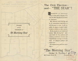
Showing 281 results

Archival description
City of Vancouver Archives technical and cartographic drawing collection
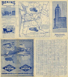
 Part
Print preview View:

246 results with digital objects Show results with digital objects

Greater Vancouver votes October 17th : know your ward - know your poll

Part contains a map showing ward and poll numbers and locations in the City of Vancouver from Burrard Inlet in the north to the Fraser River in the south and from Boundary Road in the east to Blanca in the west. Map has been annotated by Major J.S. Matthews to show mayoralty election results by ward.

Howe Sound - Burrard Inlet [Howe Sound portion]

Part shows the Lower Mainland and Howe Sound from Britannia Beach in the northwest to Indian Arm in the southeast. Map shows topographic contour lines, elevations, lakes, streams and other natural features, roads, railways, communication lines, cities and other settlements, and land, timber, and mineral surveys by number.

Howe Sound - Burrard Inlet [Burrard Inlet portion]

Part shows the Lower Mainland and Burrard Inlet from Howe Sound in the west to Indian Arm in the east. Map shows topographic contour lines, elevations, lakes, streams and other natural features, roads, railways, communication lines, cities and other settlements, and land, timber, and mineral surveys by number. Includes a list of sources of information.

Along the gulf coast riviera by Union Steamships

Part is the outer/front side of an unfolded brochure for Union Steamships Limited. The sheet described various tourist destinations along the southern coast that could be reached by Union Steamships services, with information on sights, fares, etc. The sheet also includes photographs of recreation areas around Sechelt.

Union Steamships (Vancouver, B.C.)

Tourist map of Greater Vancouver

Part is a sheet with two maps. The main map shows a pictorial view of Greater Vancouver, including the location of major roads and tourist attractions. Drawings of "the most important single objects on totem poles of the Pacific Northwest Indians" form a decorative border. The inset map shows downtown Granville Street and the location of the Scenery Shop.

Results 101 to 150 of 281