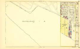
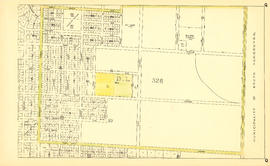
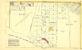
Sheet U : Churchill Street to Cambie Street and Forty-ninth Avenue to Park Drive
- AM1594-MAP 779-: MAP 779.44
- Item
- [ca. 1935], with revisions to Dec. 4, 1943
Part of City of Vancouver Archives technical and cartographic drawing collection
Item is a section showing the area from Churchill Street to Cambie Street and Forty-ninth Avenue to Park Drive. Includes streets and roads; blocks, lots and legal descriptions; and parks and golf courses.
Vancouver (B.C.). Office of the City Engineer