Free map of Vancouver, New Westminster and surroundings
- AM1594-: MAP 827
- Item
- [1935?]
Part of City of Vancouver Archives technical and cartographic drawing collection
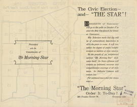
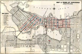
Item is a promotional brochure for the British Columbia Electric Railway Company with a map of Greater Vancouver on one side and information and advertisements on the other.


![[Sheet 4 : Chilco Street to Burrard Street and Robson Street to Deadmans Island]](/uploads/r/null/9/4/9482209e02b8dc04c79ef404276e1d40bcbb4fab0330b4aa744e352ae9440921/5597738a-70b2-4cfc-a802-6a076987c33d-MAP339_142.jpg)
![[Sheet 5 : Stanley Park to Nicola Street and English Bay Beach to Robson Street]](/uploads/r/null/1/d/1daf1ff2196704e4e82a6b5c7476ee3e8a46b4e0740f3c37f3f58813f5f8b5f0/ee3a2706-4ebe-4ee8-b4db-da89840c7f89-MAP339_142.jpg)
![[Sheet 6 : Nicola Street to Beatty Street and English Bay Beach to Georgia Street]](/uploads/r/null/f/2/f2effc97084427c0bd73bae3566d3ad910caaa6e7fb3e5ed9f3ece81bd2ac0a1/f2cc48a6-1195-4dd8-8227-71d36d1791bb-MAP339_142.jpg)


![Vancouver, B.C., the Pacific coast terminus of the C.P.R. [Canadian Pacific Railway]](/uploads/r/null/e/2/c/e2cdc004f3cf462100ed2ef053aa6087887b3f3200917cd5fba6292afb3b2d2d/bfcde3fa-32d7-4d08-86e5-ecf70c6f8388-LEG1340_142.jpg)

![Vancouver, B.C., the Pacific coast terminus of the C.P.R. [Canadian Pacific Railway]](/uploads/r/null/8/3/f/83fcf65f0d66d64e6357d0d647e0ea6e2fa4aae4c3d1919f952d7725b4299cda/623e750c-fbab-43b7-a496-d20b384baeb6-LEG1321_142.jpg)