- AM1594-: MAP 776
- Item
- 1957
Part of City of Vancouver Archives technical and cartographic drawing collection
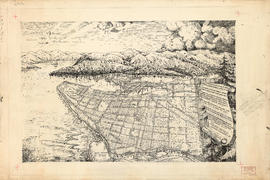
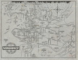
Item is a map showing the locations and names of major businesses and corporations in the Greater Vancouver area. The map also shows major roads, highways, railways and proposed highway routes. 5 mile and 10 mile radius circles are depicted around the "geographical centre of metropolitan Vancouver." Map background is a mosaic of aerial photographs.