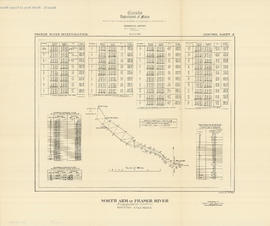
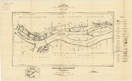
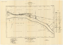
Garibaldi Lake study 1932-1933
- COV-S346-F01-: MAP 1071
- Item
- July 9, 1933
Part of City of Vancouver fonds
Item is a graph depicting gauge water heights for Lesser Garibaldi Lake, Garibaldi Lake, Upper Rubble Creek, Lower Rubble Creek for the period Apr. 1932 to Apr. 1933.