
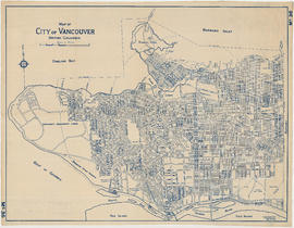
Sheet 15 : Oak Street to Main Street and False Creek to Sixteenth Avenue
- AM1594-MAP 779-: MAP 779.17
- Item
- [ca. 1935], with revisions to Mar. 30, 1944
Part of City of Vancouver Archives technical and cartographic drawing collection
Item is a section showing Oak Street to Main Street and False Creek to Sixteenth Avenue. Includes streets and roads, blocks, lots, legal descriptions, railways, schools, monastery, Vancouver General Hospital and City Hall.
Vancouver (B.C.). Office of the City Engineer


![Plan of district lot boundaries, City of Vancouver, B.C. [index map]](/uploads/r/null/9/4/9469805f0ad98fa8c476e2fa1bd641a165448bbfe6840da2ca337894637001a4/9199ff56-1884-4c1f-8d1c-1a513de71a3d-MAP779_142.jpg)


![Map of City of Vancouver, British Columbia [index map]](/uploads/r/null/b/4/b4070d13913e90841a24384f7c94ab9f22595ff9bde62429edb46fd5ed60a75a/f4bb676f-1639-4811-82bf-2a0d4defd87e-MAP779_142.jpg)
![City of Vancouver, British Columbia [index map]](/uploads/r/null/d/4/d4fc7ef393680c6515927aa960de863e6fd9e846c3fac12499691549673dc4b7/eed36b0b-2e63-48f2-a7ee-02ed3de937b9-MAP682_142.jpg)


