- AM1594-: MAP 1181g
- Item
- 1949
Part of City of Vancouver Archives technical and cartographic drawing collection
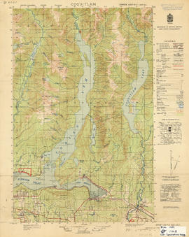
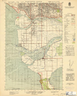
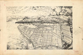
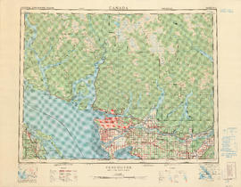
Item is a map showing topography, roads, trails, railways, bridges, boundaries, reserves, power lines, telephone lines, triangulation stations, camera stations, bench marks, houses, barns, mills, factories, schools, churches, post offices, telephone exchanges, mines and geographic features in the Pitt Lake area, including Coquitlam Mountain, Mount Blanshard, and Siwash Island. A small index map shows the area covered by the primary map in relation to other maps in the series.
![Howe Sound - Burrard Inlet [Howe Sound portion]](/uploads/r/null/7/a/1/7a1896077ddc37a7e16ac2d7e42a66031e13e11a9d966c43fca06cbb56f8bd96/5edd8d92-d3cd-4663-8fdd-996b3ae7a402-MAP30a_142.jpg)