
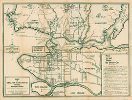
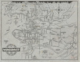
Wrigley's new map of Vancouver and Lower Mainland
- AM1594-: MAP 771-: LEG1315.6
- Part
- 1936
Part of City of Vancouver Archives technical and cartographic drawing collection
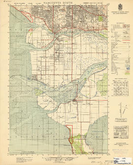
Part contains a map showing streets and block numbers in Vancouver, West Vancouver, North Vancouver, Burnaby, New Westminster and the northern part of Richmond.


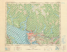

![City of Vancouver surrounding [sic] and municipalities including City of New Westminster](/uploads/r/null/8/9/1/8919931915a624a5abd2e5d2953118fdd853654343ce31193f00d341d482bf39/fd6eb299-3e6a-498e-bfd9-62a3279a8861-LEG1329_142.jpg)


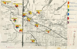
![Vancouver's high-tech industry location map plus G.V.R.D. [Greater Vancouver Regional District] d...](/uploads/r/null/2/b/7/2b7c912f51dd7827d1a0ac60042357a631d2c8fdc3487bc37f286d2945c4ea4c/7a17e6a4-d593-45c5-9625-f03c471efb68-LEG1362_142.jpg)

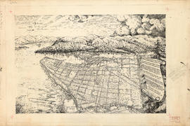


![McRoberts Island [Sea Island]](/uploads/r/null/6/9/6981a571c6d3102ee36ac270cce0eca9727531a3a9b4dd09f46f6f61adbbadbe/b8c696f2-5181-4f84-9e76-6420f9b2e916-Map800_142.jpg)