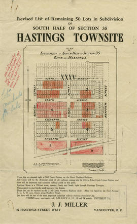
Direct mail as an advertising and marketing medium
- AM1594-: MAP 771-: LEG1315.9
- Part
- 1936
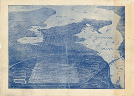
Part of City of Vancouver Archives technical and cartographic drawing collection
Part is the inside cover for a street map of Greater Vancouver and contains text advertising Roy Wrigley's direct mail campaigns