Vancouver Parks and Recreation : map and guide
- PUB-: PD 1257-: LEG1356.02
- Part
- [ca. 1980]
Part of City publications collection
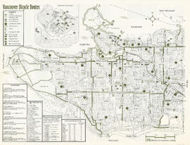
Part contains a map of Vancouver showing major roadways and locations of attractions advertised in the pamphlet, a map of Stanley Park in more detail, and textual information on Stanley Park and Vancouver beaches.