
City of Vancouver

Sheet 1 : Boundary Road to Burrard Inlet to Templeton Drive to Charles Street
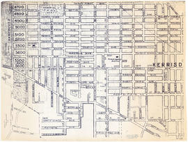
Sheet 4 : Boundary Road to 24th Avenue to Victoria Drive to Forty-ninth Avenue
Sheet 6 : Penticton Street to Burrard Inlet to Princess Avenue to William Street
Sheet 12 : Prince Albert Street to East Seventeenth Avenue to Laurel Street to East Twenty-ninth Avenue

Sheet 14 : Prince Albert Street to Forty-ninth Avenue to Laurel Street to Kent Avenue
Sheet 17 : Oak Street to Connaught Street to Elm Street to West 50th Avenue

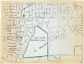
Sheet 23 : Vine Street to Forty-first Avenue to Salish Drive to Fraser River

Sheet 28 : Main Street to Twenty-ninth Avenue to Granville Street to Fiftieth Avenue
Sheet 5 : Boundary Road to Forty-ninth Avenue to Victoria Drive to Kent Avenue

Sheet 13 : Ross Street to Twenty-ninth Avenue to Heather Street to Forty-ninth Avenue

Sheet 16 : Cambie Street to West Fifteenth Avenue to Arbutus Street to Thirty-fifth Avenue

Sheet 18 : Laurel Street to West Forty-ninth Avenue to Marine Crescent to Seventieth Avenue

Sheet 20 : Granville Street to English Bay to Trutch Street to West Sixteenth Avenue
Sheet 22 : Vine Street to Thirty-first Avenue to Camosun Street to Fifty-first Avenue

Sheet 25 : Balaclava Street to Fifteenth Avenue to Blanca Street to Thirty-fifth Avenue
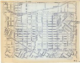
Sheet 3: Boundary Road to East Broadway to Lakewood Street to Galt Street

Sheet 7 : Penticton Street to East Georgia Street to Carolina Street to Twelfth Avenue

Sheet 8 : Nanaimo Street to Twelfth Avenue to St. George Street to Thirty-third Avenue

Sheet 9 : St. Margaret Street to Twenty-ninth Avenue to St. George St. to East Forty-ninth Avenue
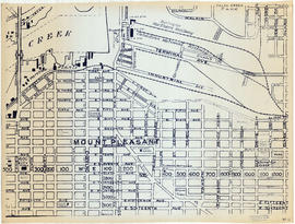
Sheet 11 : Clark Drive to Atlantic Street to Cambie Stree to East Sixteenth Avenue

Sheet 19 : Cambie Street to Fifty-seventh Avenue to Arbutus Street to Fraser River

Sheet 21 : Cypress Street to West Fifteenth Avenue to Highbury Street to Thirty-fifthe Avenue

Sheet 26 : Highbury Street to English Bay to Tasmania Boulevard to Seventeenth Avenue
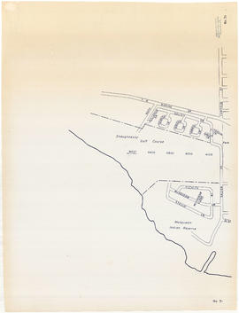
Sheet 31 : Camosun Street to Shaughnessy golf course to Fraser River to Salish Drive
Sheet 2 : Boundary Road to Venables Street to Lakewood Street to East Fourteenth Avenue
Sheet 10 : Clarendon Street to Forty-ninth Avenue to St. George Street to Fraser River

Sheet 15 : Columbia Street to Drake Street to Cypress Street to West Eighteenth Avenue
Sheet 24 : Balaclava Street to English Bay to Tolmie Street to Nineteenth Avenue

City of Vancouver : west half

City of Vancouver : east half
Burnaby municipality
Burnaby municipality
Sectional map and street directory of Vancouver : Dial map of the city of Vancouver including adjacent municipalities
Sectional map and street directory of Vancouver : Dial map of the city of Vancouver including adjacent municipalities
Sectional map and street directory of Vancouver : Dial map of the city of Vancouver including adjacent municipalities
Sectional map and street directory of Vancouver : Dial map of the city of Vancouver including adjacent municipalities
Sectional map and street directory of Vancouver : Dial map of the city of Vancouver
Sectional map and street directory of Vancouver : Dial map of the city of Vancouver
Dial map of the city of Vancouver including the adjacent municipalities
Dial map of the city of Vancouver including the adjacent municipalities