Showing 2 results

Archival description
British Columbia. Department of Lands and Forests. Surveys and Mapping Branch New Westminster District (B.C.) Item
Print preview View:

2 results with digital objects Show results with digital objects

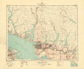
Vancouver

Item is a map showing land subdivision in the New Westminster District. The map shows lands alienated or covered by applications under the "Land Act"; surveyed timber leases, licences, and births; and Indian reserves; shows land district boundaries; park boundaries; provincial forest boundaries; forest management licences; and municipal boundaries.

The map appears to be based on the National Topographic Series 1:250,000 map 92G, with other data added.

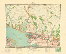
Vancouver

Item is a map showing land subdivision in the New Westminster District. The Reference index indicates that lands alienated or covered by applications under the "Land Act"; surveyed timber leases, licences, and births; and Indian reserves are noted; none of these categories of land have been colour-coded on the map. The map also shows land district boundaries; park boundaries; provincial forest boundaries; forest management licences; and municipal boundaries.

The map appears to be based on the National Topographic Series 1:250,000 map 92G, with other data added.