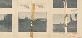
Plan of West Vancouver Municipality
- AM1594-: MAP 302
- Item
- [1923?]
Part of City of Vancouver Archives technical and cartographic drawing collection
Item is a map showing land subdivisions in West Vancouver, and annotated by J. S. Matthews with historic names and locations. A small key map shows the location covered by the primary map in relation to the rest of the Lower Mainland.