- AM1594-MAP 1157
- File
- 1921
Part of City of Vancouver Archives technical and cartographic drawing collection
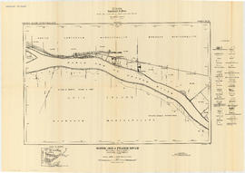
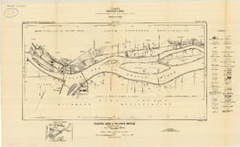
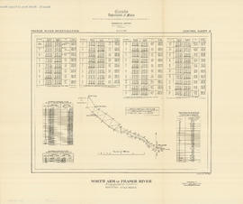
File consists of 18 maps and 3 sheets of associated triangulation and other survey control data, published by the Geological Survey of Canada. The maps depict a geological survey of the banks, islands, marshes, etc. of the Fraser River, North Arm of the Fraser River and Burrard Inlet.