- AM46---: LEG1384.3
- Item
- Jul. 9, 1904
Part of William McNeill fonds
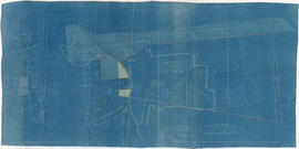
Item is a survey plan showing the layout of buildings on a section of reclaimed land where Carrall Street meets False Creek, and property ownership in adjacent areas. An index plan shows the location covered by the main map in relation to the surrounding area.

![Plan shewing location of sewers on C.P.Rly. [Canadian Pacific Railway] industrial sites](/uploads/r/null/7/6/1/7619e437193646086fba2c0b959aeb02c1226500076d36df8da8fa5f9e9388e9/b1d0ba23-309d-48e1-a012-2b2eb18a2ff8-MAP738_142.jpg)


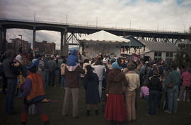
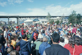
![[Centennial employees building stage platform]](/uploads/r/null/e/2/4/e24865cfb50a51f74063f522f8f70003e5c5c395cb904467babb850ad89e138d/f1c48b90-9d15-444b-8d78-725f6499c81a-2011-010_142.jpg)
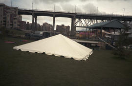
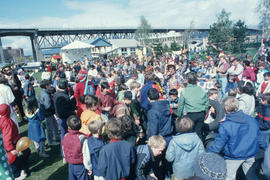
![[Centennial employees building stage platform]](/uploads/r/null/d/b/8/db8a974e6ab3b47a78c9a9d3370841bc645544299421d036723d79cd442cd169/5489b780-6b38-4420-91e3-9349471d0c9f-2011-010_142.jpg)
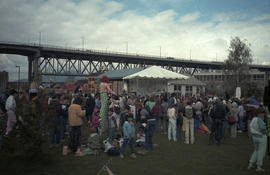
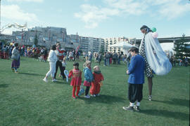
![[Centennial employees building stage platform]](/uploads/r/null/2/0/7/207da9d16e9f9cc0fa9566d1ec7336e508d3ab85459f06f16fd4e8ff2647068c/d337295e-8417-4f0b-9f35-4eaa7dc9ff30-2011-010_142.jpg)