
Aerial photo, oblique, 41st Ave. and Oak St., Vancouver

Aerial photo, oblique, CPR docks in foreground, looking south Granville Street at centre
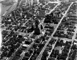
Aerial photo, oblique, downtown Vancouver

Aerial photo, oblique, downtown Vancouver to North Shore Mountains

Aerial photo, oblique, False Creek, Vancouver

Aerial photo, vertical, Deadman's Island, Coal Harbour and surrounding area
Aerial photo, vertical, Exhibition Park and surrounding area

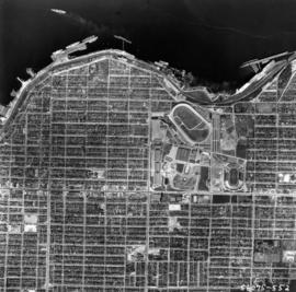
Aerial photo, vertical, Exhibition Park, Vancouver

Aerial photo, vertical, False Creek, Fairview to Kits Point

Aerial photo, vertical, Iona Island and Fraser River
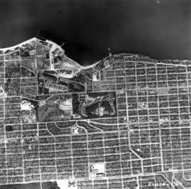
Aerial photo, vertical, Jericho Beach Park and Kitsilano

Aerial photo, vertical, Little Mountain and Oakridge and surrounding area

Aerial photo, vertical, Marpole and junction of Fraser River, Bridgeport

Aerial photo, vertical, University of British Columbia and University Endowment Lands