
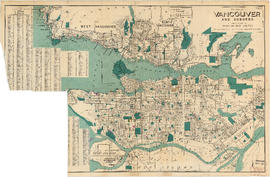
District lot index and street index (1st Avenue to Campbell Avenue)
- AM1594-: MAP 70-: LEG1276.4
- Part
- 1914
Part of City of Vancouver Archives technical and cartographic drawing collection
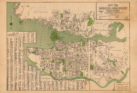
Part contains two pages from the booklet accompanying a guide map of Greater Vancouver.


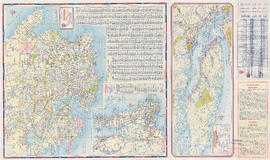

![City of Vancouver surrounding [sic] and municipalities including City of New Westminster](/uploads/r/null/8/9/1/8919931915a624a5abd2e5d2953118fdd853654343ce31193f00d341d482bf39/fd6eb299-3e6a-498e-bfd9-62a3279a8861-LEG1329_142.jpg)


