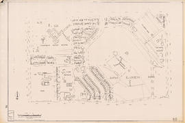
Showing 129 results
Archival description129 results with digital objects Show results with digital objects

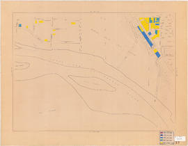
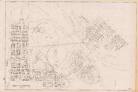
Age of buildings : Main Street to Clark Drive and Prior Street/Venables Street to Broadway

Age of buildings : Arbutus Street to Oak Street and Odgen Avenue to Broadway

Age of buildings : Slocan Street to Boundary Road and 5th Avenue to 22nd Avenue
Age of buildings : Blenheim Street to Arbutus Street and 57th Avenue to the North Arm of the Fraser River

Age of buildings : Crown Street to Blenheim Street and 41st Avenue to 55th Avenue
Age of buildings : Blanca Street to Discovery Street and 10th Avenue to 16th Avenue
Age of buildings : Clark Drive to Slocan Street and Hastings Street to 6th Avenue

Age of buildings : Main Street to Clark Drive and Railway Street/Powell Street to Prior Street/Venables Street

Age of buildings : Clark Drive to Slocan Street and Powell Street/Wall Street to Hastings Street

Age of buildings : Knight Street to Slocan Street/Wales Street and 22nd Avenue to 37th Avenue

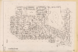
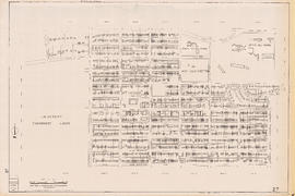
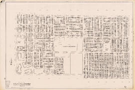
Sectional map of Vancouver showing streets, block and lot outlines, and building perimeters : Map 11 : Nanaimo Street to Rupert Street and Burrard Inlet to McGill Street

Sectional map of Vancouver showing streets, block and lot outlines, and building perimeters : Map 13 : Rupert Street to Boundary Road and Burrard Inlet to Eton Street

Sectional map of Vancouver showing streets, block and lot outlines, and building perimeters : Map 14 : Cassiar Street to Boundary Road and Eton Street to Pender Street

Sectional map of Vancouver showing streets, block and lot outlines, and building perimeters : Map 19 : Clark Drive to Nanaimo Street and Frances Street/Ferndale Street to 2nd Avenue

Sectional map of Vancouver showing streets, block and lot outlines, and building perimeters : Map 33 : Clark Drive to Nanaimo Street and 2nd Avenue to 13th Avenue
Sectional map of Vancouver showing streets, block and lot outlines, and building perimeters : Map 40 : Inverness Street to Nanaimo Street and 13th Avenue to 22nd Avenue/24th Avenue

Sectional map of Vancouver showing streets, block and lot outlines, and building perimeters : Map 42 : Oak Street to Ontario Street and 16th Avenue to 28th Avenue

Sectional map of Vancouver showing streets, block and lot outlines, and building perimeters : Map 43 : East Boulevard to Oak Street and 14th Avenue to Laurier Avenue

Sectional map of Vancouver showing streets, block and lot outlines, and building perimeters : Map 46 : Blanca Street to Discovery Street and 14th Avenue to 16th Avenue

Sectional map of Vancouver showing streets, block and lot outlines, and building perimeters : Map 49 : Arbutus Street to Oak Street and Laurier Avenue to 33rd Avenue
Sectional map of Vancouver showing streets, block and lot outlines, and building perimeters : Map 50 : Oak Street to Ontario Street and 28th Avenue to 37th Avenue

Sectional map of Vancouver showing streets, block and lot outlines, and building perimeters : Map 58 : Inverness Street to Berkley Street/Nanaimo Street and 41st Avenue to 49th Avenue

Sectional map of Vancouver showing streets, block and lot outlines, and building perimeters : Map 67 : Musqueam Indian Reserve and Shaughnessy Golf Course

Sectional map of Vancouver showing streets, block and lot outlines, and building perimeters : Map 69 : Wallace Street to MacDonald Street and 49th Avenue to the North Arm of the Fraser River

Sectional map of Vancouver showing streets, block and lot outlines, and building perimeters : Map 73 : Quebec Street to Inverness Street and 47th Avenue to 57th Avenue

Sectional map of Vancouver showing streets, block and lot outlines, and building perimeters : Map 75 : Nanaimo Street to Kerr Street and 49th Avenue to Bobolink Avenue

Sectional map of Vancouver showing streets, block and lot outlines, and building perimeters : Map 80 : Inverness Street to Gladstone Street/Nanaimo Street and 61st Avenue to the North Fork of the North Arm of the Fraser River

Sectional map of Vancouver showing streets, block and lot outlines, and building perimeters : Map 81 : Main Street to Inverness Street and 57th Avenue to S.E. Marine Drive

Sectional map of Vancouver showing streets, block and lot outlines, and building perimeters : Map 83 : Fremlin Street to Main Street and 57th Avenue to 67th Avenue/S.W. Marine Drive

Sectional map of Vancouver showing streets, block and lot outlines, and building perimeters : Map 90 : Iona Island to Wood Island and Celtic Avenue to Sea Island
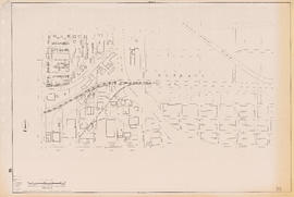
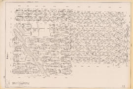
![Age of buildings : Slocan Street to Boundary Road and Wall Street/East Street [Edinburgh Street] ...](/uploads/r/null/e/9/2/e921e2151aed2f9a2fd506bbc7e781632de17633f5f2f1a410764a15e68501b4/01454f17-8dfb-417d-9fd9-0093f19fcd56-LEG1221_142.jpg)
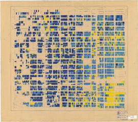
Age of buildings : Slocan Street to Boundary Road and Wall Street/East Street [Edinburgh Street] to Pender Street

Age of buildings : Oak Street to Main Street and Broadway to King Edward Avenue

Age of buildings : Arbutus Street/S.W. Marine Drive to Fremlin Street and 57th Avenue to 72nd Avenue

Age of buildings : Blenheim Street to Arbutus Street and Broadway to King Edward Avenue
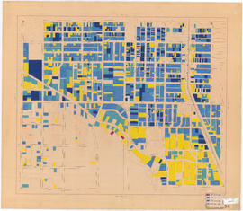
Age of buildings : Blenheim Street to Maple Street/Laburnum Street and 41st Avenue to 57th Avenue

Age of buildings : Slocan Street to Boundary Road and 22nd Avenue to Kingsway
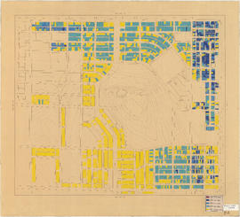
Age of buildings : Oak Street to Main Street and King Edward Avenue to 41st Avenue

Sectional map of Vancouver showing streets, block and lot outlines, and building perimeters: Map 5 : Lagoon Street to Nicola Street and Robson Street to English Bay
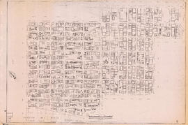
Sectional map of Vancouver showing streets, block and lot outlines, and building perimeters : Map 6 : Nicola Street to Beatty Street and Georgia Street to Beach Avenue/Drake Street

Sectional map of Vancouver showing streets, block and lot outlines, and building perimeters : Map 8 : Piers at Burrard Inlet between Main Street and Clark Drive

Sectional map of Vancouver showing streets, block and lot outlines, and building perimeters : Map 9 : Main Street to Clark Drive and Burrard Inlet to Prior Street

Sectional map of Vancouver showing streets, block and lot outlines, and building perimeters : Map 20 : Main Street to Clark Drive and Prior Street to 2nd Avenue/Great Northern Way
Sectional map of Vancouver showing streets, block and lot outlines, and building perimeters : Map 22 : Maple Street to Drake Street and Vanier Park/Sunset Beach to 4th Avenue

Sectional map of Vancouver showing streets, block and lot outlines, and building perimeters : Map 24 : Jericho Beach Park to Balaclava Street and English Bay to 4th Avenue
Sectional map of Vancouver showing streets, block and lot outlines, and building perimeters : Map 27 : Blanca Street to Camosun Street and 4th Avenue to 14th Avenue
Sectional map of Vancouver showing streets, block and lot outlines, and building perimeters : Map 35 : Rupert Street to Boundary Road and 5th Avenue to Grandview Highway
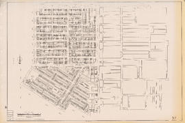
Sectional map of Vancouver showing streets, block and lot outlines, and building perimeters : Map 37 : Rupert Street to Boundary Road and 22nd Avenue to Wellington Avenue/Monmouth Avenue
Sectional map of Vancouver showing streets, block and lot outlines, and building perimeters : Map 44 : Blenheim Street to Arbutus Street and 14th Avenue to King Edward Avenue/23rd Avenue

Sectional map of Vancouver showing streets, block and lot outlines, and building perimeters : Map 48 : Blenheim Street to Arbutus Street King Edward Avenue/23rd Avenue ro 33rd Avenue
Sectional map of Vancouver showing streets, block and lot outlines, and building perimeters : Map 51 : Ontario Street to Inverness Street and 28th Avenue to 37th Avenue
Results 1 to 50 of 129