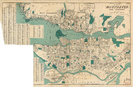
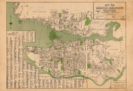
Showing 11 results

Archival description
Dominion Map and Blueprint Company fonds Part Streets
Print preview View:

11 results with digital objects Show results with digital objects

Map of Fraser Valley

Part consists of a street map of the Lower Mainland and Fraser Valley from Vancouver to Chilliwack, a street map of New Westminster, a map of Vancouver and North Vancouver showing street names but not street lines, and text advertising the products and services of the Dominion Map and Blueprint Company.

Dial map of Greater Vancouver and suburbs

Part contains a street map of Vancouver, West Vancouver, North Vancouver, and Burnaby showing railways, hospitals, parks and block numbers. The map includes the printed portion of the dial (a numbered circle, a grid of block numbers and a street index used to find locations), but no indicator is attached. A small inset shows the streets of Gleneagles in West Vancouver.

Dial map of Vancouver and suburbs

Part consists of a street map of Vancouver, West Vancouver, North Vancouver, and Burnaby. Part includes the printed portion of the dial (a numbered circle, a grid of block numbers and a street index used to find locations), but no indicator is attached.

Dial map of Greater Vancouver

Part consists of a street map of Vancouver showing block numbers, street car, bus, and railway lines, parks and hospitals. Map includes a dial (a numbered circle, a paper indicator, a grid of block numbers and a street index used to find locations).