- AM1594-: MAP 431
- Item
- 1971
Part of City of Vancouver Archives technical and cartographic drawing collection
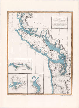
Map shows Vancouver, North Vancouver, New Westminster and Burnaby. Municipal boundaries, census boundaries and population numbers are identified.


![[Aerial map of Greater Vancouver]](/uploads/r/null/5/6/0/560c4a977bf4bd23ded38e3e8d0c471a86a303d135869c5e459d1977eeed33a6/f660f804-da91-422b-9622-82ae60a89bbe-MAP358_142.jpg)

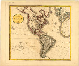
![Americae sive novi orbis, no va descriptio : [the new world, commonly called America]](/uploads/r/null/7/f/9/7f9d7722fd935fbaf645638c66c9dc9500f9c329d254d3c44493af54d80e6483/b93f8b7c-cc81-45d5-b814-14796fa7011e-MAP667_142.jpg)