Kitsilano and the Municipality of Point Grey
- AM1594-: MAP 740
- Item
- [ca. 1910]
Part of City of Vancouver Archives technical and cartographic drawing collection
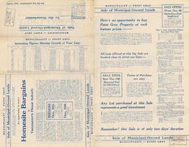
Item is a map showing building lots and block numbers in Kitsilano and the Municipality of Point Grey, from English Bay in the north to Marine Drive in the south and from Granville Street in the east to Blanca in the west.


![Plan of Point Grey Municipality [ward boundaries]](/uploads/r/null/a/c/a/aca691b3d6e49d092070fc230a88f5ca7bd346fc8c5894892d7cdc5a79b535ee/9a14b192-1858-43aa-ab28-d0b03a2304eb-MAP360_142.jpg)


