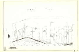
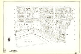
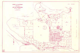
Plan showing vicinity of Fisher Case, Nov 9th, 1949
- AM1594-: MAP 551
- Item
- June 3, 1950
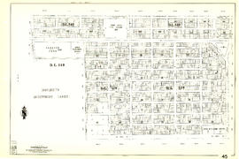
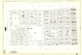
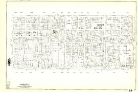
Part of City of Vancouver Archives technical and cartographic drawing collection
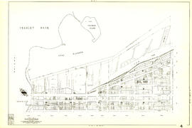
Item is a map showing roads, buildings, bridges and railway lines in the False Creek vicinity. Red pencil marks a route occupied by float houses and shacks. Green pencil marks an unidentified route on the map.
Vancouver (B.C.). Engineering Services