Topographic map of Downtown Vancouver and the East End
- COV-S365-: MAP 698
- Item
- 1887-1913
Part of City of Vancouver fonds
Item is a map showing two sets of topographic contour lines, streets, and block numbers (in Roman numerals) in the area from Robson Street to Raymur Avenue and Coal Harbour/Vancouver Harbour to False Creek.


![C.B.D. [Central Business District] trip trace density chart](/uploads/r/null/6/b/4/6b4dfcd5710a8add68045b374b1df6e0649e8577a53d23070c9494276c76c3fd/0e0776f3-ca72-4c99-8121-6e7293b90cee-LEG26_142.jpg)


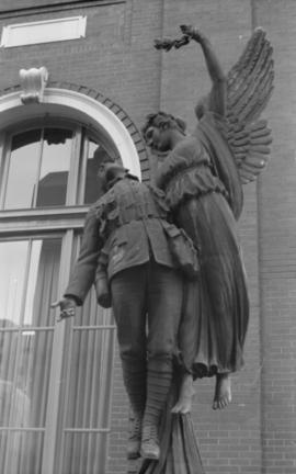
![Untitled [968 of 991]](/uploads/r/null/c/d/cda7470443c0037d59da9261021f7964e8c40d8026f16be63ef77e81e29cb5d1/b764cbd4-831d-4e59-8e3a-51d3c51e737d-A69378_142.jpg)
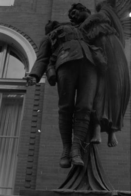
![Untitled [967 of 991]](/uploads/r/null/1/a/1ac1c953383038a17662668715ca471757e2f3f8dc4ca9cf3d1f7f143074f096/4e31420e-3576-4e57-9bf3-580dd3852f66-A69377_142.jpg)
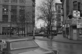
![Untitled [471 of 991]](/uploads/r/null/b/1/b13ba1d1f337d9e2d2f170cf3ecb1ec6a87498c4becb94f477d4662715c52e1f/4afe3b00-f3a4-46ca-931d-04f9aa60c176-A68437_142.jpg)
![Kensington Park [11 of 17]](/uploads/r/null/c/d/cdea9c7950b7b93244e27cc482149b090038197a8cf7e2855944e2ac93c0d65e/b8495402-dce6-4563-a157-c81541b61046-A66328_142.jpg)
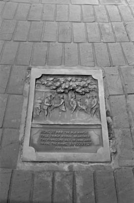
![Miscellaneous [42 of 130]](/uploads/r/null/a/f/af44f9354a84840abfd83f918936890c7c156600112573e3ef22bbc5cc047ca9/0d79d306-dfc4-4932-af34-a5254784f375-A64368_142.jpg)


![Birk's Clock, detail [Granville Street at West Georgia]](/uploads/r/null/4/8/1/4818e1ad9348156599f9edd8305906d577395b8b5f7dd8e7a7c6593680afe51b/10c8f46e-c673-4c7a-9fc0-e1828d826ead-CVA792-380_142.jpg)
![Birk's Clock [Granville Street at West Georgia]](/uploads/r/null/a/9/6/a9697d6cc40854505b0b4a9a14831053be80ab68faa24a88551272cc2a71f88a/c19b38e7-1228-4e0e-9147-8f3e7408be73-CVA792-379_142.jpg)
![Birk's Clock [Granville Street at West Georgia]](/uploads/r/null/0/a/d/0ad3da3110d5890257eadc871d29c0cae6bf1a3bde35a0380bbaea8b4edd27b5/9a0d1777-c02d-4bb0-9443-25751fca24f9-CVA792-378_142.jpg)