Land use : Semlin Drive to Nanaimo Street and Burrard Inlet to Triumph Street
- COV-S397---: LEG1362.05
- Item
- [1952?]
Part of City of Vancouver fonds
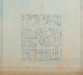
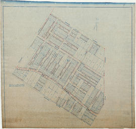
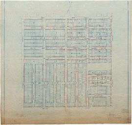
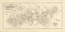
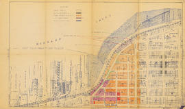
Item is a map annotated to show residential, commercial and industrial land use. Base map shows streets, legal addresses, and waterfront businesses in the area from Clark Drive to Slocan Street and Burrard Inlet to Powell Street/Triumph Street.