Downtown and West End buildings inventory photographs
- COV-S510
- Series
- 1981
Part of City of Vancouver fonds
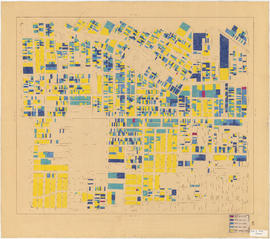
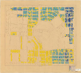
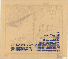
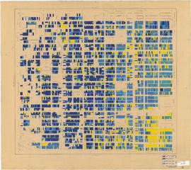
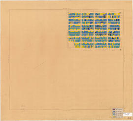
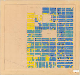
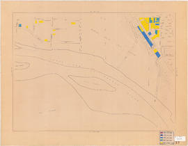
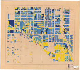
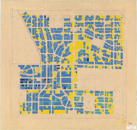
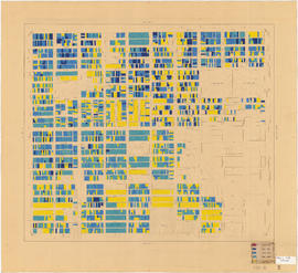
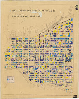
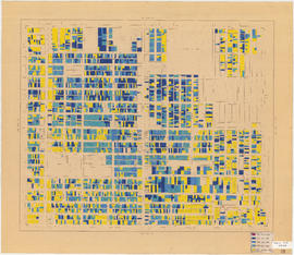
Series consists of images which systematically and comprehensively document the whole of Vancouver's central commercial area, along the waterfront from Cardero to Carrall, narrowing southward to False Creek (Thurlow to Richards at the southernmost point). Photographed in August 1981 (as an internship or work experience project) to provide a reference resource in the preparation for the Vancouver Coreplan. Images are generally 45 degree views of buildings, often from block corners. Arranged in a devised image block numbering scheme (individual image numbers reflect that organization).
Vancouver (B.C.). Planning Department


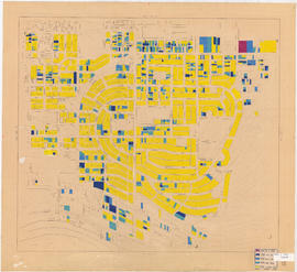
![Age of buildings : Slocan Street to Boundary Road and Wall Street/East Street [Edinburgh Street] ...](/uploads/r/null/e/9/2/e921e2151aed2f9a2fd506bbc7e781632de17633f5f2f1a410764a15e68501b4/01454f17-8dfb-417d-9fd9-0093f19fcd56-LEG1221_142.jpg)
![[View of Mount Pleasant]](/uploads/r/null/0/c/9/0c9db5e81df211f273f5e890c4cf2f482734489cf47c53831e2f430410336c9b/259201ec-18df-4a3e-9317-7b6aa211e33b-CVA808-9_142.jpg)