Showing 281 results

Archival description
City of Vancouver Archives technical and cartographic drawing collection Part
Print preview View:

246 results with digital objects Show results with digital objects

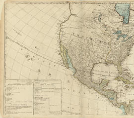
Top left plate

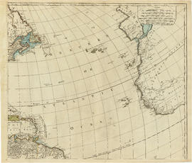
Part is the top left hand quadrant of a map of the Americas, and depicts North America and the north-west portion of South America. The sheet also includes a list of territories and islands in North America and appears to relate to territorial divisions as a result of the Treaty of Paris and the Treaty of Versailles (1783).

Bottom right plate

Part depicts the right-hand side of a map of the lunar surface viewable from Earth, a chart of the Analemma, a chart and accompanying text entitled "the vicissitude of seasons explained", a chart and accompanying text on "the art of dialing by a common globe", and a map of the southern portion of Africa and Asia, as well as Australia.

Dunn, Samuel

Bottom left plate

Part depicts text and accompanying diagram on "the art of dialing by a common globe", a chart of universal scale, a map of the world using Mercator's projection, a map of the southern half of the Americans, descriptions of the various maps and charts, and the left-hand side of a map of the lunar surface viewable from Earth.

Dunn, Samuel

Top right plate

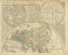
Part depicts a chart of the astronomical latitude & longitude analemma, a table showing values of the place of the sun in the ecliptic & declinatiobn, a chart of the constellations viewable in the southern hemisphere, text on geographical definitions and the cause of the tides, and a map of the northern portion of Africa, Europe and Asia.

Dunn, Samuel

Top left plate

Part depicts the upper left hand quadrant of the map, and includes a diagram of the solar system, a table of dimensions of bodies in the solar system, a chart of constellations viewable in the northern hemisphere, text on geographical definiations and the cause of the tides, and a map of the northern half of the Americas.

Dunn, Samuel

Results 1 to 50 of 281