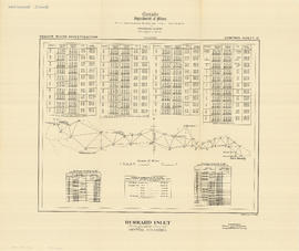
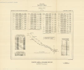
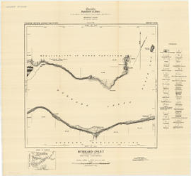
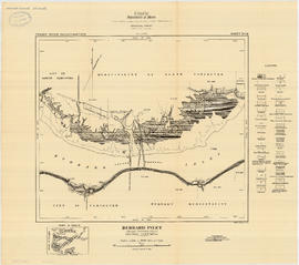
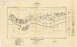
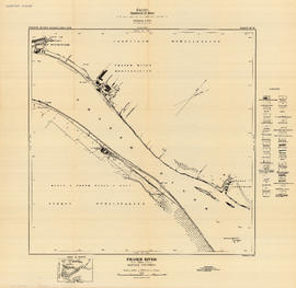
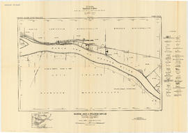
Item is a nautical chart which show details of area surveyed from Pitt Lake in the north to Roberts Bank in the south and from (what is now) Harrison Hot Springs in the east to Bowen Island in the west. The chart shows soundings in Burrard Inlet, ...
Item is a copy of a portion of a British Admiralty hydrographic survey of Burrard Inlet. The copied portion shows the area from First Narrows to just east of Capital Hill. The map shows soundings in the Inlet, as well as indications of topography ...
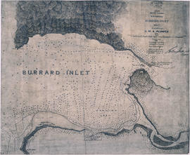
Item is a photostat copy of a portion of a map of Burrard Inlet from the 1859 H.M.S. Plumper Survey. The map depicts outer Burrard Inlet and the surrounding shorlines.
Item is a nautical chart which show details of the area surveyed from Pitt Lake in the north to Roberts Bank in the south and from (what is now) Harrison Hot Springs in the east to Bowen Island in the west. The chart shows soundings in Burrard Inl...
Item is a nautical chart which show details of area surveyed from Pitt Lake in the north to Roberts Bank in the south and from (what is now) Harrison Hot Springs in the east to Bowen Island in the west. The chart shows soundings in Burrard Inlet, ...
Map shows a survey conducted by the Canadian Pacific Railway of English Bay, Burrard Inlet and Coal Harbour, including a rough outline of area and lots. Note on map reads "Certified as a correct plan showing the land required for right of way...