![[S.S. "George W. Elder"]](/uploads/r/null/a/f/afe7a86fcdbf8638574319cab30c8cf0da6069160e47a14ce5d9eecdbb9e7515/595a954a-8a46-4c5a-a4b2-e2f4ad8315d3-A24234_142.jpg)
- AM54-S4-: Bo P449
- Item
- [ca. 1898]
Part of Major Matthews collection
117 results with digital objects Show results with digital objects
Part of Major Matthews collection
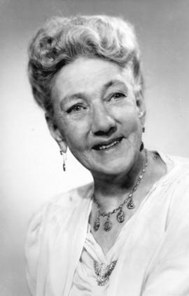
![[Mrs. Kate Van Duren (nee Rockwell) - "Klondyke Kate"]](/uploads/r/null/f/6/f6dd0ef4a7f7bd46a573ddae4b1b9a687e343a1164467831bc456c741d6473b2/6bec145e-1eb5-4299-8b4e-98b932c1faab-A35227_142.jpg)
[Mrs. Kate Van Duren (nee Rockwell) - "Klondyke Kate"]
Part of Major Matthews collection
Head and shoulders portrait

Hauling a Forest Giant in Oregon
Part of Major Matthews collection


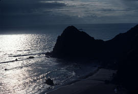
Habitat : Coast of Oregon Sunset
![Habitat : Serpentine Soil Josephine Co[unty] Ore[gon]](/uploads/r/null/3/a/3a323ed088b30b7a7f1da02e03ec2e97d113d03b6f709051c8c9ea6df9399c51/74fd9611-27e6-4c5b-b6ec-f5c95869bdce-A54027_142.jpg)
Habitat : Serpentine Soil Josephine Co[unty] Ore[gon]
![Habitat : Crater Lake S[outh] shore](/uploads/r/null/a/a/aa5021d1a91ec356c054e1993a06d74fcd6178b475043d9eb8229e7ad60ac70c/1cc75e5c-f3bc-4591-a550-3f73606eccb2-A54049_142.jpg)
Habitat : Crater Lake S[outh] shore


![Habitat : Crater Lake Ore[gon]](/uploads/r/null/d/4/d42c8f2b90298e7a20b351c205ab33c1e8215c6cdf0789e8289f1081fa9f3cf9/ec3598cb-897c-42dc-af15-4dbb2388dfef-A54052_142.jpg)
Habitat : Crater Lake Ore[gon]
![Landscape - general : Silver Falls State Park, Ore[gon]](/uploads/r/null/6/1/61fa57454bcbfd3c064930f217d0b51e430e8d97488a45982ec8ee69bcda311d/dd2958a1-a1fe-48de-aaff-fdfa3d2417e6-A54319_142.jpg)
Landscape - general : Silver Falls State Park, Ore[gon]

![Collinsia grandiflora, Limnanthes douglasii (Josephine Co[unty], Ore[gon])](/uploads/r/null/0/f/0f07240651bc64e71b3f45bfef905288a1dd5d56b804952876b92e7067f2d5a3/7487fba2-2e12-4c6f-8f2f-d2298a6bdd6f-A55427_142.jpg)
Collinsia grandiflora, Limnanthes douglasii (Josephine Co[unty], Ore[gon])
![Hesperochiron pumilus; Josephine Co[unty], Ore[gon]](/uploads/r/null/3/0/30da791f3efa01301b6c82e98e83cbbadc2cc922a66ac0855d4d5de16f1f3eca/2c2fdb2a-0829-4dce-9e56-8116c4d24e26-A56067_142.jpg)
Hesperochiron pumilus; Josephine Co[unty], Ore[gon]

Ilex NA28287 : Nellie Stevens x cornuta, Willamette Ex. Station
![Iris chrysophylla, Siskiyou M[oun]t[ain]s](/uploads/r/null/2/a/2a895702ce847ac139c2ebc297ad01d476b4cc665d850c3e928d8fa4e5f0773f/ec6af5ab-c379-4537-9ea5-b18275f9801a-A56235_142.jpg)
Iris chrysophylla, Siskiyou M[oun]t[ain]s


Iris douglasii, Siskiyou (collected)
![Iris chrysophylla, Siskiyou M[oun]t[ain]s](/uploads/r/null/b/c/bce46ef1f587a61e40ae31a05ad976302167e06906e5fa9f4b99518fd1f60226/1fbfc482-d5a1-4c25-8c71-9caeb720c319-A56248_142.jpg)
Iris chrysophylla, Siskiyou M[oun]t[ain]s

Iris douglasiana, Oregon coast

Warm temperate laurel forest, Green Wall Mountain
![Lilium washingtonianum [in] Selma, Oregon](/uploads/r/null/a/c/acf1f3cd1d80a106a980e4b23721f29a16475dcce0f72b43de324694ac374ade/87039709-a3d2-467d-8bfc-0a62416cd97d-A56466_142.jpg)
Lilium washingtonianum [in] Selma, Oregon

Lupinus arborescens, Oregon coast


Phlox speciosa, Siskiyou Mountains
![Picea breweriana; Josephine Co[unty], Ore[gon]](/uploads/r/null/5/c/5ca860e6168a82b997c97b52425ad006418a3ff68df564924a362bec854abeba/c1b2a646-a109-4d8e-b82c-289fe8287c9b-A57209_142.jpg)
Picea breweriana; Josephine Co[unty], Ore[gon]

Populus tremuloid, near Crater Lake

Rhododendron occidentale, Siskiyou Mountains

Selaginella oregona, S. Oregon

Selaginella oregona, S. Oregon
![Viola cuneata [at] Josephine Co[unty], Ore[gon]](/uploads/r/null/2/e/2e335407a20080fd4eab3978d5b374cafe9eca6fac4794010c205b478bbddd6e/8109660c-a110-4274-b1e1-040cffc28fc7-A58383_142.jpg)
Viola cuneata [at] Josephine Co[unty], Ore[gon]
![Viola cuneata [at] Josephine Co[unty], Ore[gon]](/uploads/r/null/4/3/436f6cf6134bd20ebac2c7459af2280a190aa705cbb0efe1a6b61f216c1e99b4/1971dcaf-7b22-45cb-9977-b43759f711d7-A58388_142.jpg)
Viola cuneata [at] Josephine Co[unty], Ore[gon]

Woodland Magic Silver Falls Oregon Pacific Northwest Forest
![Pinus attenuata [at] Klamath River Oregon](/uploads/r/null/a/d/ad4214c9acc7a9071e16ca7db0dcc603d4d163d9b6176b8f9dbbb4047d3510bb/13427312-ab5e-4131-a1c7-a3dc4cff8b11-A58572_142.jpg)
Pinus attenuata [at] Klamath River Oregon

Mrs. Kate Matson (nee Rockwell) - "Klondike Kate"
Part of Major Matthews collection
Full-length studio portrait
Mrs. Kate Van Duren (nee Rockwell) - "Klondike Kate"
Part of Major Matthews collection
Head and shoulders portrait

Part of City of Vancouver Archives technical and cartographic drawing collection
Item is a map showing the Pacific Coast of British Columbia and Washington and Oregon states as surveyed by French explorer Jean-Francois de Galaup (Laperouse) in 1786, and the routes of his ships Astrolabe and Boussole. The map shows the Pacific coastline from Cap Rond (Tillamook Head) in Oregon at latitude 45 degrees and 40 minutes in the south to Baeie de Clonard (Beresford Bay, northwestern tip of Haida Gwaii) in British Columbia at latitude 54 degrees and 10 minutes in the north. Other major place names on the map include Nootka, Pointe Boisee, Baie St. Louis, Iles de Sartine, Mont Fleurieu, Cap Fleurieu, Cap Hector, Mont de la Touche, Baie de la Touche, and Baie de Clonard. Vancouver Island is shown as part of the mainland. Map includes latitudes and longtitudes as well as indication of elevations. Map is a plate from the "Atlas de Voyage de la Perouse".
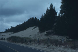
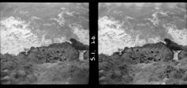
![1 Sea Lion Cave [?]](/uploads/r/null/c/c/f/ccf770ee65890c53d7a6c104dd97b8ec7a55a7df08f5302d71ca68dfaabdb75f/e7be4f91-d07e-4724-8b32-3a2d6440532b-CVA260-2099_142.jpg)
Part of James Crookall fonds

Part of James Crookall fonds

Part of James Crookall fonds
Part of James Crookall fonds
Part of James Crookall fonds

Part of James Crookall fonds

Part of James Crookall fonds
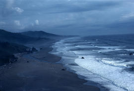
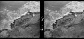
![View from trail Sea Lion Cave [- Head ?]](/uploads/r/null/0/2/f/02f69221bbb285b0075a49255055e38cf637591d4e5480af9d368c556886c99c/4a6e302d-91ee-489f-9d1d-d1e3c8acc0b2-CVA260-2106_142.jpg)
View from trail Sea Lion Cave [- Head ?]
Part of James Crookall fonds

Part of James Crookall fonds