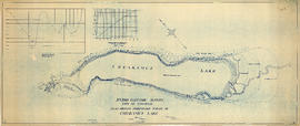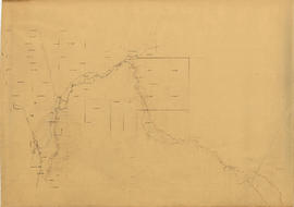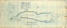
Hydro electric survey. Plan showing preliminary survey of Cheakamus Lake
- COV-S346-F01-: MAP 1077.01
- Item
- 1923
Part of City of Vancouver fonds
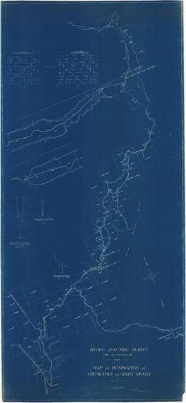
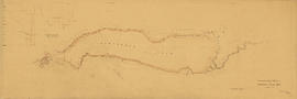
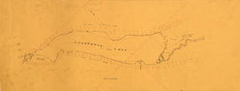
Item is a topographical map showing a preliminary hydro electric survey of Cheakamus Lake, including a capacity diagram of Cheakamus Lake with dam at Section A-B and a cross-section on that line. The sheet includes a graph depicting the capacity of Cheakamus Lake with dam at section A-B. The map includes the Cheakamus River, creeks, characteristics of the terrain, elevations, and water level. Certified correct by Charles W. Williams.