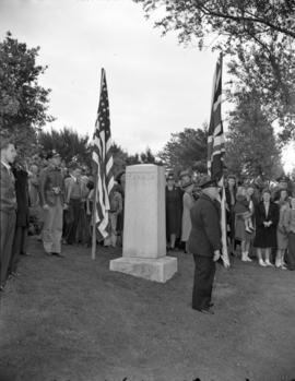
![[A Canada - United States border marker in the ground]](/uploads/r/null/b/5/b509a4b59bc183d084e90f1c08ef31eed0f1528b17bb47a30b128f1d4ed3bcfc/efc7fd87-a69c-44f2-9710-bc1fac4b3c0a-A75682_142.jpg)
[A Canada - United States border marker in the ground]
- AM640-S1-: CVA 260-663
- Item
- 1937
Part of James Crookall fonds
6 results directly related Exclude narrower terms
[A Canada - United States border marker in the ground]
Part of James Crookall fonds
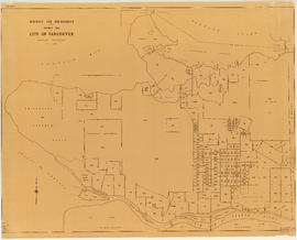
District lot boundaries within the City of Vancouver
Part of City of Vancouver fonds
![[Jack Benny and his troupe watching customs officers check their baggage]](/uploads/r/null/e/1/e1cc46a4392225eb06e622227aeb0c0cfa2acb9e2712e32e721e529494087dea/5fe5de18-640d-4ae6-bce8-ab66051d45fe-A10895_142.jpg)
[Jack Benny and his troupe watching customs officers check their baggage]
Left to right: Mary Livingstone, Jack Benny and Eddie Anderson.

Vancouver : urban growth, 1865-1970
Part of City of Vancouver Archives technical and cartographic drawing collection
Item is a map that shows the boundaries between Vancouver, Point Grey, Hastings Townsite, South Vancouver and District Lot 301, and how these evolved over time.

Part of City of Vancouver Archives technical and cartographic drawing collection
Item is a topographical map showing lands alienated or covered by application under the Land Act, timber leases, native reserves, government reserves, and various boundaries, as well as campsites, picnic sites, forest service lookouts, post offices, settlements, schools, hospitals, mines, dykes, historic monuments, roads, trails, railways, power lines, phone lines, air harbour or seaplane anchorages, etc. Sheet contains an index map showing adjoining maps in the series.