


![[Sheet 22] : Rail yards along north shore of False Creek between Cambie Street and Carrall Street](/uploads/r/null/5/3/e/53ec58f43ecdd82dcf6405936640f461cf10b63bdae5b54b7b600e643481e9a5/0e989b52-f0ee-4f2a-ac56-a1154f218bdc-LEG1831_142.jpg)


![Sheet 25 P.G. : [McKenzie Road] to 16th Avenue to Moncton Road to Bodwell Road](/uploads/r/null/5/e/9/5e9f58aad1ed3f515ddf4b19148b8bcacfa996823822b45d570082f758977655/f312a0ee-a812-4dfd-a9f8-220fc9283481-LEG1831_142.jpg)
![Sheet 26 P.G. : [West Boulevard] to Bodwell Road to Moncton Road to Magee Road](/uploads/r/null/1/d/d/1dd52080e68b8082b18fa6b46adb633297828cac74b4e90e2cc37854d792b67c/2e82c241-a896-4d26-a005-f524b525e89f-LEG1831_142.jpg)
![Sheet 27 P.G. : [West Boulevard] to 50th Avenue to Carrington Street to Fraser River](/uploads/r/null/0/9/0/090f76634cdc314f819f2efd30a3577fb99766beb5ce44d02150f9e6c580758f/e5df76bd-fc07-4e76-a264-fba49009ca66-LEG1831_142.jpg)
![Sheet 30 P.G. : Dixon Road to [54th Avenue] to [East Boulevard] to Peters Road](/uploads/r/null/e/3/3/e334d968a14944f58d1375158c6885b9e74c4d88dcbfc3092cd2b66c158d0743/e4b08e16-1f6a-448f-bbdd-ec0fd336fc2c-LEG1831_142.jpg)


![Sheet 36 S.V. : [Chambers Street] to Government Road to Knight Street to Forty-third Avenue](/uploads/r/null/c/8/7/c8717cec4116ee8e006673b056d7755ec1fbee4b2f57fcbf47598267a83a4b9d/82fe22d0-c322-4a08-a843-a90655c1e2a1-LEG1831_142.jpg)


![Sheet 42 S.V. : Boundary Road to Government Road to [Duchess Street] to School Road](/uploads/r/null/1/9/f/19f97eb9c0c1f54c0626e037784329d1b53b8d06b7e1735915b0b85ecec96a4c/15d29110-32de-4fa6-8396-8b134a40e766-LEG1831_142.jpg)

![Sheet 46 [Burnaby] : [Beta Avenue] to Burrard Inlet to Boundary Road to Pandora Street](/uploads/r/null/6/4/0/640a63c92167081e5c9aa8a4400ddac3ee12d65a7fc431d7876a4d9c231ff282/285daa44-106a-4d65-962e-11c271fb8135-LEG1831_142.jpg)
![Sheet 47 [Burnaby] : Gamma Avenue to Pandora Street to Boundary Road to Wallace Street](/uploads/r/null/6/9/2/692cd2363e5c18e38de333bcc9baa6e1fb208d8543ebcccc18a56e2d722f6aae/a7d41f68-a56e-4143-994c-8a538cd84bae-LEG1831_142.jpg)
![Sheet 48 [Burnaby] : [Gamma Avenue?] to Wallace Street to Bnoundary Road to Moscrop Road](/uploads/r/null/b/2/5/b258f9afb494a760d1e8d6bc8b957c2e9f75d6510d7ac9fd940f25f9e6ca25a8/18fddce0-f135-4d3b-8fa6-01503715539b-LEG1831_142.jpg)
![Sheet 49 [Burnaby] : [Denbigh Avenue to Burke Street] to Boundary Road to Jubilee Street](/uploads/r/null/0/9/0/090a7af5f046e8ddc7b354737459148670d9ff4778a177007e11a0833b3ebf7e/cb71ebca-b838-499c-bd26-4542b018fa2a-LEG1831_142.jpg)
![Sheet 50 [Burnaby] : [Antrim Road?] to Jubilee Road to Boundary Road to [Marine Way]](/uploads/r/null/b/c/f/bcfcdc3e5a34b9cb2d151f7ca97982970014d2254913bae08f91f1afdc151ae0/ac9cd205-6ea8-4e27-bd30-7143e2004b1d-LEG1831_142.jpg)
![Sheet 52 [Burnaby] : [Cliff Avenue?] to Burrard Inlet to Beta Avenue to [Francis Street]](/uploads/r/null/7/6/6/766074e0c7064b71ead7d0adc4e81ba4157a84eb78feb5eadf97046a67626fe6/8215258d-916e-491f-99a6-3b9640a01044-LEG1831_142.jpg)
Title and statement of responsibility area
Title proper
Atlas of city of Vancouver
General material designation
- Cartographic material
- Textual record
Parallel title
Other title information
Title statements of responsibility
Title notes
Level of description
File
Reference code
AM1594-: LEG1831
Edition area
Edition statement
Edition statement of responsibility
Class of material specific details area
Statement of scale (cartographic)
Statement of projection (cartographic)
Statement of coordinates (cartographic)
Statement of scale (architectural)
Issuing jurisdiction and denomination (philatelic)
Dates of creation area
Date(s)
Physical description area
Physical description
1 map : positive blueprint
Publisher's series area
Title proper of publisher's series
Parallel titles of publisher's series
Other title information of publisher's series
Statement of responsibility relating to publisher's series
Numbering within publisher's series
Note on publisher's series
Archival description area
Custodial history
Scope and content
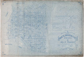
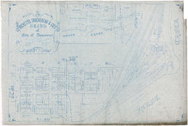
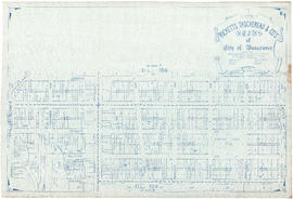
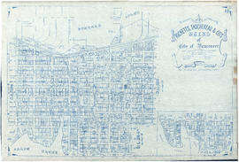
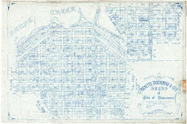
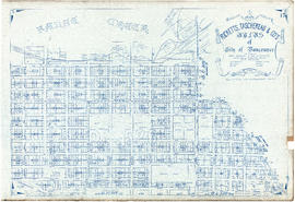
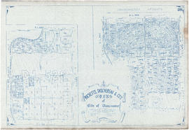
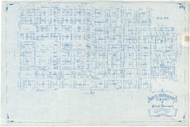
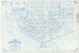
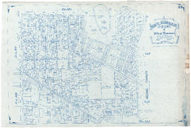
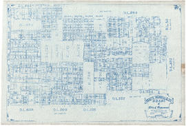
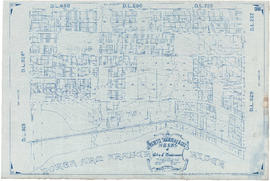
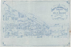
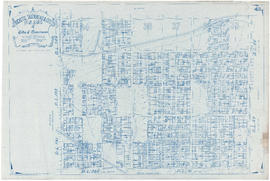
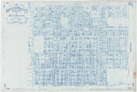
File is a property atlas, showing land subdivision in Vancouver, Point Grey, South Vancouver, Burnaby, New Westminster, part of Coquitlam, Richmond, and North Vancouver. All sheets are blueprint copies of a map which is the same as MAP 366. The sheets for Vancouver, Point Grey, South Vancouver and Hastings Townsite have had topographical lines added to the base map; some sheets have been annotated to show proposed roadway and other infrastructure changes.
Notes area
Physical condition
Immediate source of acquisition
Arrangement
Atlas formerly referred to as MAP 366 c. 4.
Language of material
Script of material
Location of originals
Availability of other formats
Restrictions on access
Terms governing use, reproduction, and publication
Finding aids
Associated materials
Accruals
Alternative identifier(s)
Standard number area
Standard number
Access points
Subject access points
Place access points
Name access points
- Ricketts, Taschereau & Co. (Publisher)